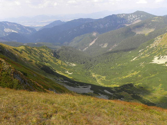
Low Tatra National Park - the largest natural park in Slovakia with well preserved ecosystems
The park and its buffer zone cover the whole Low Tatras mountain range between the Vah River and the Hron River valleys. It offers excellent conditions for sports activities throughout the year.
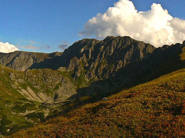
Dumbier peak - the highest mountain in the Low Tatras
2043 m EASL, protected part of Low Tatra National Park.
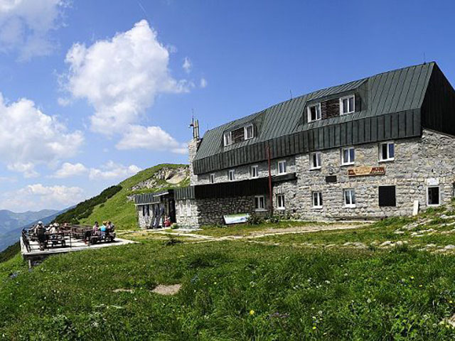
Chalet of General M.R.Stefanik - chalet under the southern slope of Dumbier peak in Low Tatras
It is one of several true mountain chalets situated on the tourist trail called mountain road of Heroes of the Slovak National Uprising driving from Kralova hola mountain to Donovaly village in length of 100 km.
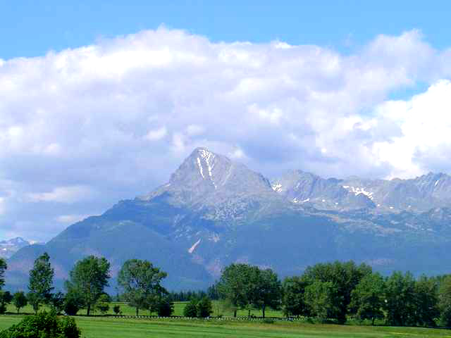
Krivan peak - the unofficial symbol of Slovakia
2,494 m EASL; have its distinctive shape recognizable from a far distance. The peak is depicted on Slovak Euro Coin.
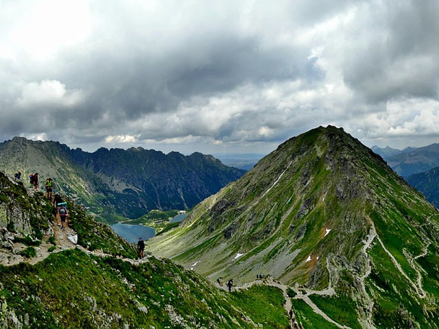
Tatra National Park (TANAP) - diverse flora and fauna with many endemic species
Tatra National Park (abbr. TANAP) lies in the North of Central Slovakia in the High Tatras. The National Park covers an area of 738 km2. The park offers 600 km of hiking trails and several ski resorts.
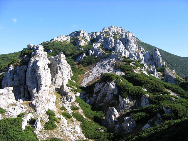
Sivy vrch - mountain peak in main ridge of Western Tatras
1805 m EASL, massif is covered with limestone rock towers and many caves.
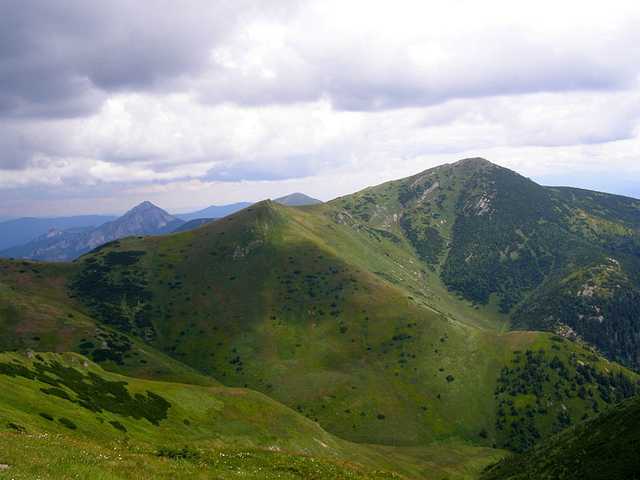
Velky Krivan - the highest peak of the Mala Fatra Mountains
Velky Krivan (1,708 m EASL), also Velky Fatransky Krivan, is located on the main ridge of Small Fatra. This meadowy mountain peak reaches above the upper limit extension of mountain pine and offers an excellent circular view.
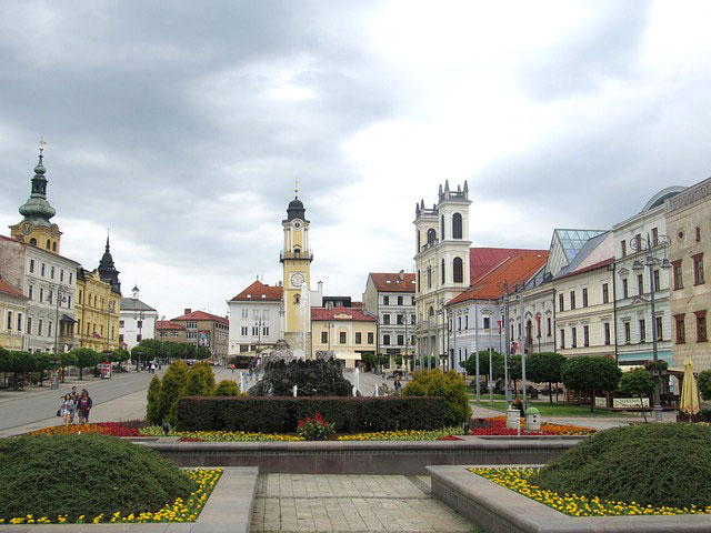
Banska Bystrica - a historical town in Central Slovakia
The copper mining town acquired its present look in the Late Middle Ages. Most of the historical monuments concentrate near SNP Square.
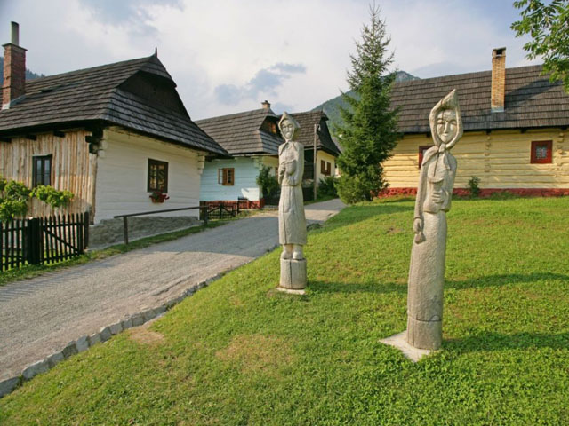
Vlkolinec village UNESCO World Heritage - untouched and complex example of folk countryside architecture
The village comprises two or three-room log cabin-type houses. There are preserved the bell tower from 1770, water well, Chapel of the Blessed Virgin Mary, and school.